Trailheads
- Headgates at Savannah Rapids Park
- Water Pump Station, end of Riverlook Drive (opening 2015)
- Lake Olmstead, end of Milledge Road (access to River Levee, Towpath, Mill Village trails)
- Mill Village Trailhead, Grace Street near Kroc Center (opening 2015)
- Discovery Center at Enterprise Mill
- Old Turning Basin at 13th Street, near Walton Rehab Hospital
Share and Enjoy: Trail etiquette
For eveyone’s safety and enjoyment please:
- Be polite and a good steward of the Canal
- Appreciate wildlife and historic structures; do not disturb
- Remember, the trail is like a roadway; keep right and pass left
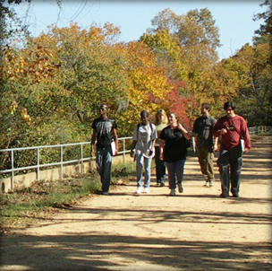
- Groups should not take up the full width of a trail
- Faster users yield to slower users
- Don’t litter. Take your trash with you when you leave.
- Keep animals leashed and under control at all times; clean and remove animal waste; remind others to do so.
The RULES
- Don’t feed the alligators or other wildlife
- No horses or off-road vehicles (ATVs)
- No alcohol
- No discharge of firearms, bows/arrows
- No hunting, camping or fires
- No loud radios
- A note on motorized vehicles: Only official City and Canal Authority motorized traffic permitted. Pedestrians should be alert for these vehicles
- Do not jump from bridges, bulkheads, docks or any other structures
Towpath
The main Canal trail. Originally used by draft animals to pull canal cargo boats upstream to the locks, today the towpath is the main hiking/biking trail on the north side of the Canal from the headgates to Sibley Mill. In earlier times no trees grew along the path; today the upper reach of the towpath is lined with trees that provide habitat for birds and wildlife. LOCATION: Between the Canal and Savannah River. From the headgates to the rest area is recycled asphalt surface, then sand/clay dirt road to Goodrich Street
- Approximate Length
Headgates to I-20 overpass: 2 miles
Headgates to the Raw Water Pumping Station: 3.5 miles
Headgates to the King/Sibley Mills: approximately 5 miles.
River Levee Trail
Curving from the Lake Olmstead bulkhead through wooded areas between the Canal and Savannah River for 1.7 miles. Two bridges span the trailraces of Sibley and King mills, offering great views of the river. The path climbs the river levee via a boardwalk, crosses the top of the levee at Hawks Gulley Bulkhead at 15th Street onto another boardwalk to a paved trail and ends at 13th St. There you can cross and connect to Riverwalk.
DIRECTIONS/PARKING. Drive past Lake Olmstead Park/GreenJackets baseball stadium to the end of Milledge Road. Park in gravel parking lot.
START. Walk across Canal on the Olmstead Bulkhead Bridge. Go down the Canal embankment. Trailhead is across dirt road, to the left. It is marked with a large brown sign and map.
Phase III of River Levee Trail passes beneath Riverwatch Parkway along Rae’s Creek, then turns east, running parallel to the parkway and along the Savannah River. It crosses two bridges. From there a 400-foot timber boardwalk leads to the top of the Savannah River levee near the Riverwatch Parkway access ramps.
END. This trail’s current end point is at 13th St. But from there, you can cross the street to access the Riverwalk.
The Mill Village Trail
Along the southwest bank of the Canal, this trail passes though Harrisburg, an 18th Century trading post that became a 19th Century textile mill village and is now a National Landmark historic district. LOCATION: This trail is through an urban area and crosses or uses some city streets. Surfaces vary. Begin at Lake Olmstead Bulkhead parking area, follow signs along southeast side of Canal. Trail crosses to Canal’s north side at 15th Street/Butt Bridge, ending at 13th Street/ Walton Rehabilitation Hospital.
Third Level Urban Trail
This trail follows city streets from the old turning basin at 13th Street & Walton Way to Davidson School at Telfair. From there it is a concrete paved trail following the Canal’s third level channel, ending at 7th Street.
Side Trails and Paths
- Old Fish Camp Path: A short 165 yard dirt trail leads to site of former squatters shack and fish camp.
- River Shoals Nature Trail: A 0.7 mile loop just northwest of the Clearing, between towpath and the river
- Mountain Bike Singletrack: A dirt 2-mile loop southeast of the Water Pump station, between the railoard tracks and river this singletrack mountain bike trail has some challenging sections. Click here for more information.
- Lake Olmstead Trail: A paved half-mile trail along the shore of Lake Olmstead, a recreational lake formed by Rae’s Creek the Canal enlargement during the 1870s. LOCATION: East side of lake from Bulkhead bridge to Julian Smith Casino (log recreation hall) at Broad Street
Other nearby hike and bike trails include the North Augusta, S.C. Greene Way (cross the Savannah River at 13th Street) and the Columbia County multi-use trail in Evans (from Headgate/ Savannah Rapids Park, follow path by Evans-to-Lock Road southwest.
Bike
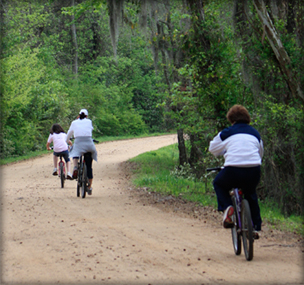
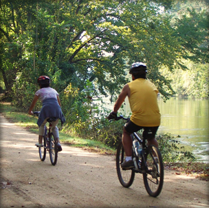
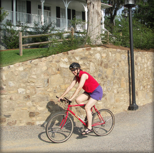
Most of the canal’s trails are wide and flat and are suitable for cyclists of all levels. In the upper reach of the canal, surface is mostly sand/clay mix; in the more urban areas, trails are paved. For those up for a bigger challenge, there is the Mountain Bike Singletrack trail, built and maintained by SORBA-CSRA.
Mountain Bike Singletrack
The main trail is a tight and twisty singletrack trail with minimal elevation change situated between the Augusta Canal and the Savannah River. The trail features exposed roots and rocks, bridges, and some short but steep ascents and descents. The "Razor's Edge" branch runs along a narrow bank with a steep drop to the river and is recommended for experienced riders only. The overall trail difficulty level is intermediate.
Singletrack RULES
- All users travel in the same direction according to the date.
Odd Dates (1, 3, 5 …) travel clockwise
Even Dates (2, 4, 6 …) travel counter-clockwise. - Stay on the trail. Do not go around roots/rocks – this causes the trail to widen.
- Keep dogs leashed at all times
- Leave no trace – pack out what you bring in. Do not litter.
- Helmets are highly recommended.
Bike Rental and Repair Services
The Bicycle Peddler
In Savannah Rapids Park
Martinez, GA 30907
Bicyclepedderaugusta@gmail.com
706-373-4519
Andy Jordan’s Bicycle Warehouse
527 13th St, Augusta, GA 30901
706-724-6777
www.andyjordans.com
Outspokin’ Bicycles
1904 Walton Way, Augusta, GA 30904
706-736-2486
www.outspokinaugusta.com
Canoes and Kayaks
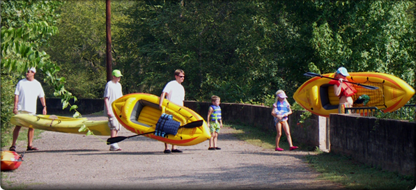
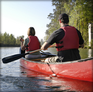
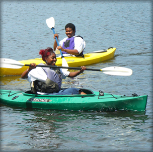
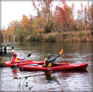
Canoers and kayakers can paddle the entire first level of the Canal, from the Headgates to the old turning basin at 13th Street. Due to the current (about 6 knots), most paddlers choose to put in at the upper end and paddle with the current.
Canal Access
Many paddlers put in/take out at low points along the canal banks including:
- Headgates, low bank near the Petersburg boat dock.
- Headgates, wooden dock
- Riverwatch Trail, wooden dock, behind Cabela’s (portage ¼ mile)
- Riverwatch Parkway, under highway overpass (portage of one mile from Olmstead trailhead)
- Lake Olmstead. Requires about a half mile of flat-water paddling to reach canal via Rae’s Creek outlet.
- Mill Village Trailhead
- End of First Level. 13th Street at Walton Hospital.
- The Clearing (canal side) (UNDER CONSTRUCTION)
Savannah River Access
- Above the Headgates: CLOSED for safety reasons by order of Augusta Utilities Department.
- Headgates: A stairway leads from the towpath to a Savannah River launch dock at the Headgates area. It is located across from the green pedestrian bridge.
- The Clearing, a low area about two and a half miles from the Headgates, gives access to the shoals.
WARNINGS and CAUTIONS
- Caution – Canal banks are steep and slippery in many areas.
- Wear a PFD – Personal Floatation Device/Life Jacket
- NO Swimming
- NO Tubing
- Mill intakes create strong currents. Steer clear.
- Use caution Lake Olmstead bulkhead opening. Current is swift. You may encounter the Petersburg tour boat coming through. Listen for warning horn. Yield.
- The Canal's second and third levels in the downtown area have man-made obstructions, may contain debris and have unpredictable water flows. These areas are hazardous to boaters. DO NOT USE these sections.
- Be aware. River rocks are slick and Savannah River current is deceptively violent and subject to sudden increases due to releases from upstream dams.
- NO gasoline-powered boats of any kind.
Rentals & Guides
Savannah Rapids Kayak Rentals
rental concession at the Savannah Rapids Headgate park
706-832-5323
www.kayakaugustacanal.com
Escorted kayak tours of the Canal and other area waterways are offered by Cole Watkins Tours, 706-840-0433, www.colewatkinstours.com
Rules and Guidelines
Thousands of people enjoy the historic Augusta Canal and its trails every year. To enhance everyone’s enjoyment, please abide by posted rules.


